THE CAVEPEÑA ZAFRA DE ARRIBA

THE CAVE · PEÑA ZAFRA DE ARRIBA

Hiking & Nature

From the village to the trails of Sierra de la Pila. Documented walks to help you plan your next outing.

Landscape around the accommodation

Walks from the official Murcia Natural map. Unpublished elevation or difficulty ratings have not been inferred.

Sources checked: 31 October 2026
5 routes

Map of the area

Peña Zafra · Sierra de la Pila · Fortuna · Abanilla

Markers are approximate reference points. They are not tracks and do not replace a navigation map.

Open in OpenStreetMap
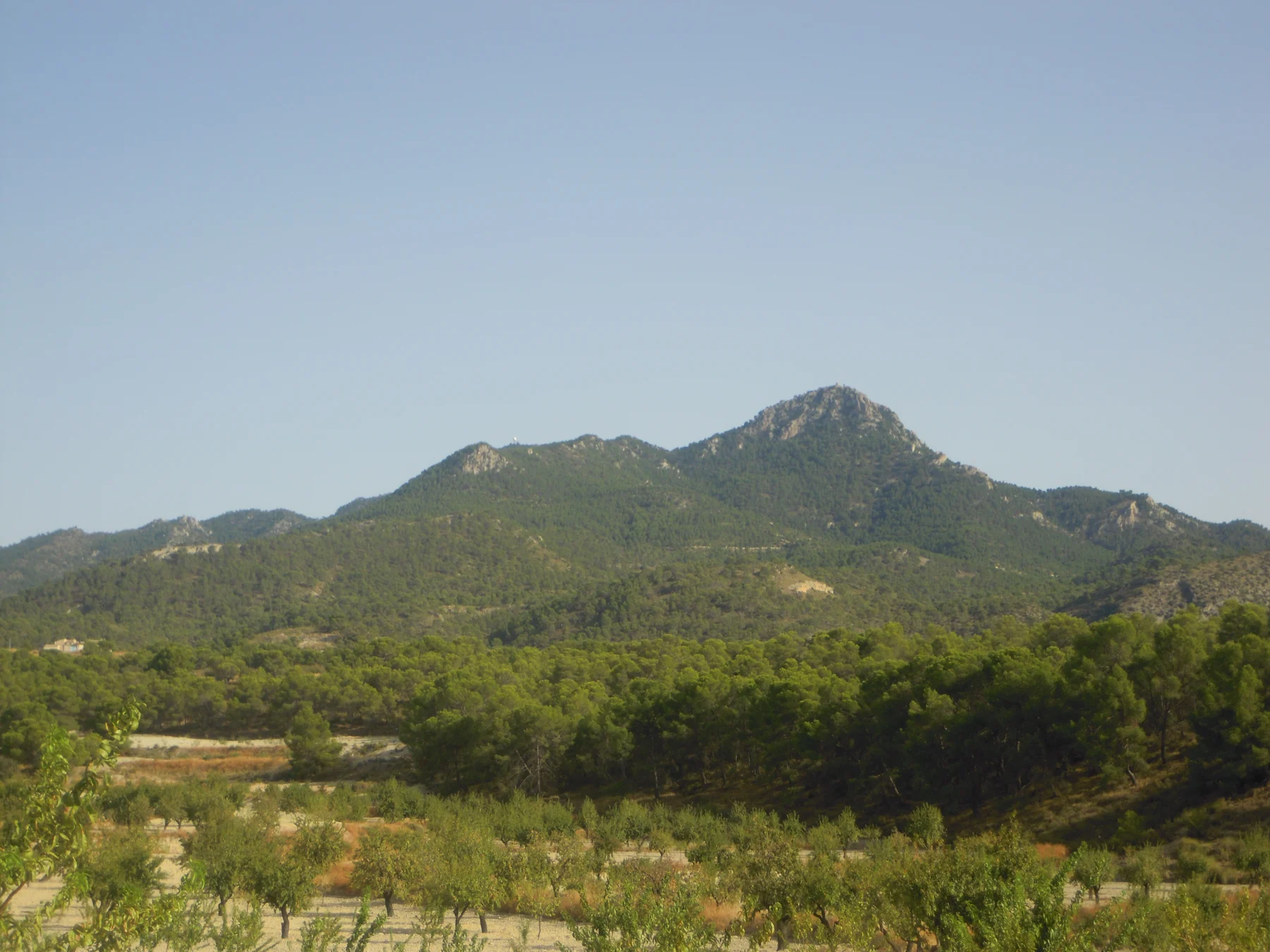
A contextual photograph of the region, not the exact route.Unclassified

A contextual photograph of the region, not the exact route.

PR-MU 128 · Peña Zafra de Arriba

An official circular walk from the hamlet through Sierra de la Pila woodland.

Distance
10.2 km
Elevation gain
Not published / to be confirmed
Duration
2 hours
Route type
Loop
Details and recommendations

Start

Peña Zafra de Arriba

Approximate village or recreation-area reference; not a surveyed trailhead coordinate.

From the house

0.1 km approx. in a straight line; not by road

Highlights

Peña Zafra de Arriba and Sierra de la Pila scenery.

Before you go

Check trail conditions, carry water and avoid the hottest hours. Follow waymarks.

CARM · mapa oficial del Parque Regional Sierra de la Pila · Sources checked: 31 October 2026

We do not redistribute GPX files without verified reuse terms.
View original source
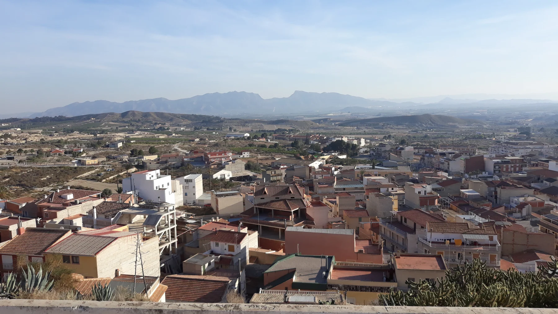
A contextual photograph of the region, not the exact route.Unclassified

A contextual photograph of the region, not the exact route.

PR-MU 126 · La Garapacha to Pico de la Pila

An official ascent from La Garapacha to Pico de la Pila. The leaflet figures cover the outward journey only.

Distance
5.9 km
Elevation gain
Not published / to be confirmed
Duration
2 hours 20 minutes (one way)
Route type
Point-to-point · one way
Details and recommendations

Start

La Garapacha

Approximate village or recreation-area reference; not a surveyed trailhead coordinate.

From the house

5.4 km approx. in a straight line; not by road

Highlights

La Garapacha and Pico de la Pila.

Before you go

Check trail conditions, carry water and avoid the hottest hours. Follow waymarks.

CARM · mapa oficial del Parque Regional Sierra de la Pila · Sources checked: 31 October 2026

We do not redistribute GPX files without verified reuse terms.

View original source
A contextual photograph of the region, not the exact route.Unclassified

A contextual photograph of the region, not the exact route.

PR-MU 122 · Fuente del Javé

An official circular walk starting and finishing at Fuente del Javé recreation area.

Distance
2.7 km
Elevation gain
Not published / to be confirmed
Duration
1 hour
Route type
Loop
Details and recommendations

Start

Área recreativa Fuente del Javé

Approximate village or recreation-area reference; not a surveyed trailhead coordinate.

From the house

13.3 km approx. in a straight line; not by road

Highlights

Fuente del Javé and forest scenery.

Before you go

Check trail conditions, carry water and avoid the hottest hours. Follow waymarks.

CARM · mapa oficial del Parque Regional Sierra de la Pila · Sources checked: 31 October 2026

We do not redistribute GPX files without verified reuse terms.

View original source
A contextual photograph of the region, not the exact route.Unclassified

A contextual photograph of the region, not the exact route.

PR-MU 127 · Fuente Higuera and Pozos de la Nieve

A circular walk on the shaded side of Sierra de la Pila, published on the official park map.

Distance
16.8 km
Elevation gain
Not published / to be confirmed
Duration
4 hours
Route type
Loop
Details and recommendations

Start

Área recreativa Fuente Higuera

Approximate village or recreation-area reference; not a surveyed trailhead coordinate.

From the house

1.9 km approx. in a straight line; not by road

Highlights

The shaded slopes of La Pila and historic snow pits.

Before you go

Check trail conditions, carry water and avoid the hottest hours. Follow waymarks.

CARM · mapa oficial del Parque Regional Sierra de la Pila · Sources checked: 31 October 2026

We do not redistribute GPX files without verified reuse terms.

View original source
A contextual photograph of the region, not the exact route.Unclassified

A contextual photograph of the region, not the exact route.

Río Chícamo · Spring and Cajer Gorge

An itinerary described by the Segura river authority between the spring and Cagel or Cajer Gorge. Check current signs and stop at the designated end of the maintained trail. The published activity distance is 2.5 km; the source does not specify whether this includes the return.

Distance
2.5 km
Elevation gain
Not published / to be confirmed
Duration
3 hours for the interpretive visit published by CHS; not walking time
Route type
Not published / to be confirmed
Details and recommendations

Start

Río Chícamo spring; access from Las Casas del Chícamo, near Macisvenda

From the house

Not published / to be confirmed

Highlights

The spring, former mill and gorge scenery.

Before you go

Follow the maintained path and bridges. Do not enter the riverbed or continue through the gorge. Postpone if rain is forecast or after heavy rainfall.

Confederación Hidrográfica del Segura · ruta interpretativa del Chícamo · Sources checked: 31 October 2026

We do not redistribute GPX files without verified reuse terms.

View original source

Conditions can change. Check access, weather and waymarks before setting out. Walking trails are not presented as mountain-bike routes.

THE CAVE · PEÑA ZAFRA

A cave house. A different pace of life.

Book Your Stay
The CavePeña Zafra de ArribaCheck Availability